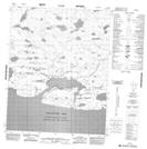
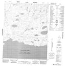
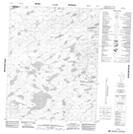
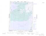
Maps showing Takaatcho River, Mackenzie, Northwest Territories
Takaatcho River is a River located in Mackenzie, Northwest Territories.
- Latitude: 66° 22' 1'' North (decimal: 66.3669216)
- Longitude: 119° 37' 6'' West (decimal: -119.6183938)
- Topography Feature Category: River
- Geographical Feature: River
- Canadian Province/Territory: Northwest Territories
- Location: Mackenzie
- Atlas of Canada Locator Map: Takaatcho River
- GPS Coordinate Locator Map: Takaatcho River Lat/Long
Takaatcho River NTS Map Sheets