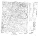
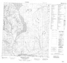
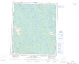
Maps showing Tertiary Creek, Mackenzie, Northwest Territories
Tertiary Creek is a River located in Mackenzie, Northwest Territories and has an elevation of 417 meters.
- Latitude: 64° 15' 5'' North (decimal: 64.2514674)
- Longitude: 125° 21' 6'' West (decimal: -125.3517829)
- Topography Feature Category: River
- Geographical Feature: Creek
- Canadian Province/Territory: Northwest Territories
- Elevation: 417 meters
- Location: Mackenzie
- Atlas of Canada Locator Map: Tertiary Creek
- GPS Coordinate Locator Map: Tertiary Creek Lat/Long
Tertiary Creek NTS Map Sheets