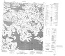
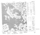
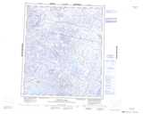
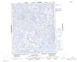
Maps showing Thanakoie Narrows, Mackenzie, Northwest Territories
Thanakoie Narrows is a Channel located in Mackenzie, Northwest Territories and has an elevation of 377 meters.
- Latitude: 64° 4' 1'' North (decimal: 64.0669455)
- Longitude: 107° 59' 3'' West (decimal: -107.9842880)
- Topography Feature Category: Channel
- Geographical Feature: Narrows
- Canadian Province/Territory: Northwest Territories
- Elevation: 377 meters
- Location: Mackenzie
- Atlas of Canada Locator Map: Thanakoie Narrows
- GPS Coordinate Locator Map: Thanakoie Narrows Lat/Long
Thanakoie Narrows NTS Map Sheets