Canada Topographic Maps

Thekulthili Lake Topo Maps

Topography maps and Latitude/Longitude Location

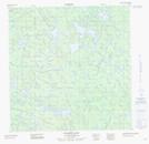
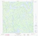
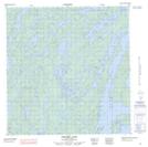
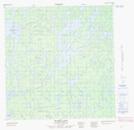
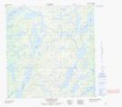
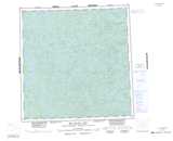
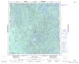
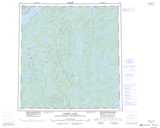
Maps showing Thekulthili Lake, Mackenzie, Northwest Territories

Thekulthili Lake is a Lake located in Mackenzie, Northwest Territories.

  • Latitude: 61° 0' 1'' North   (decimal: 61.0002139)
  • Longitude: 110° 6' 3'' West   (decimal: -110.1009594)
  • Topography Feature Category: Lake
  • Geographical Feature: Lake
  • Canadian Province/Territory: Northwest Territories
  • Location: Mackenzie
  • Atlas of Canada Locator Map: Thekulthili Lake
  • GPS Coordinate Locator Map: Thekulthili Lake Lat/Long

Thekulthili Lake NTS Map Sheets

075C13 Salmon Lake Topographic Map at 1:50,000 scale

075D16 Bigpine Narrows Topographic Map at 1:50,000 scale

075E01 Jerome Lake Topographic Map at 1:50,000 scale

075F04 Sparks Lake Topographic Map at 1:50,000 scale

075F05 Salkeld Lake Topographic Map at 1:50,000 scale

075C Hill Island Lake Topographic Map at 1:250,000 scale

075D Fort Smith Topographic Map at 1:250,000 scale

075E Taltson Lake Topographic Map at 1:250,000 scale

075F Nonacho Lake Topographic Map at 1:250,000 scale

 
Buy Topographic Maps DVD
Newsletter Sign-up

Yes, I want to receive map store discounts.


Bookmark and Share