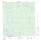
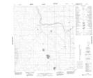
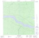
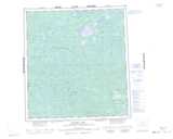
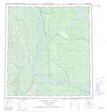
Maps showing Trail River, Mackenzie, Northwest Territories
Trail River is a River located in Mackenzie, Northwest Territories and has an elevation of 156 meters.
- Latitude: 62° 5' 0'' North (decimal: 62.0834278)
- Longitude: 122° 12' 6'' West (decimal: -122.2015428)
- Topography Feature Category: River
- Geographical Feature: River
- Canadian Province/Territory: Northwest Territories
- Elevation: 156 meters
- Location: Mackenzie
- Atlas of Canada Locator Map: Trail River
- GPS Coordinate Locator Map: Trail River Lat/Long
Trail River NTS Map Sheets