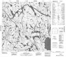
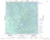
Maps showing Trudel Lake, Mackenzie, Northwest Territories
Trudel Lake is a Lake located in Mackenzie, Northwest Territories and has an elevation of 227 meters.
- Latitude: 60° 21' 1'' North (decimal: 60.3503175)
- Longitude: 111° 19' 5'' West (decimal: -111.3179924)
- Topography Feature Category: Lake
- Geographical Feature: Lake
- Canadian Province/Territory: Northwest Territories
- Elevation: 227 meters
- Location: Mackenzie
- Atlas of Canada Locator Map: Trudel Lake
- GPS Coordinate Locator Map: Trudel Lake Lat/Long
Trudel Lake NTS Map Sheets