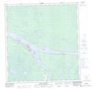
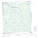
Maps showing Truesdell Island, Mackenzie, Northwest Territories
Truesdell Island is a Island located in Mackenzie, Northwest Territories and has an elevation of 116 meters.
- Latitude: 61° 50' 30'' North (decimal: 61.8417637)
- Longitude: 121° 18' 35'' West (decimal: -121.3098246)
- Topography Feature Category: Island
- Geographical Feature: Island
- Canadian Province/Territory: Northwest Territories
- Elevation: 116 meters
- Location: Mackenzie
- Atlas of Canada Locator Map: Truesdell Island
- GPS Coordinate Locator Map: Truesdell Island Lat/Long
Truesdell Island NTS Map Sheets