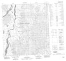
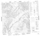
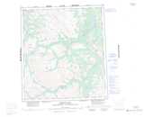
Maps showing Tsezotene Range, Mackenzie, Northwest Territories
Tsezotene Range is a Mountain located in Mackenzie, Northwest Territories.
- Latitude: 68° 20' 1'' North (decimal: 68.3334898)
- Longitude: 126° 39' 8'' West (decimal: -126.6523135)
- Topography Feature Category: Mountain
- Geographical Feature: Range
- Canadian Province/Territory: Northwest Territories
- Location: Mackenzie
- Atlas of Canada Locator Map: Tsezotene Range
- GPS Coordinate Locator Map: Tsezotene Range Lat/Long
Tsezotene Range NTS Map Sheets