Canada Topographic Maps

Tsichu River Topo Maps

Topography maps and Latitude/Longitude Location

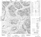
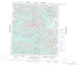
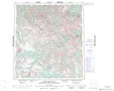
Maps showing Tsichu River, Mackenzie, Northwest Territories

Tsichu River is a River located in Mackenzie, Northwest Territories and has an elevation of 1188 meters.

  • Latitude: 63° 18' 00'' North   (decimal: 63.2999293)
  • Longitude: 129° 12' 7'' West   (decimal: -129.2018678)
  • Topography Feature Category: River
  • Geographical Feature: River
  • Canadian Province/Territory: Northwest Territories
  • Elevation: 1188 meters
  • Location: Mackenzie
  • Atlas of Canada Locator Map: Tsichu River
  • GPS Coordinate Locator Map: Tsichu River Lat/Long

Tsichu River NTS Map Sheets

105O01 No Title Topographic Map at 1:50,000 scale

105O08 Keele Peak Topographic Map at 1:50,000 scale

105P04 Christie Pass Topographic Map at 1:50,000 scale

105P05 No Title Topographic Map at 1:50,000 scale

105P06 No Title Topographic Map at 1:50,000 scale

105O Niddery Lake Topographic Map at 1:250,000 scale

105P Sekwi Mountain Topographic Map at 1:250,000 scale

 
Buy Topographic Maps DVD
Newsletter Sign-up

Yes, I want to receive map store discounts.


Bookmark and Share