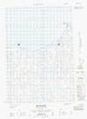
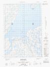
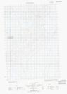
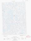
Maps showing Tuktoyaktuk Island, Mackenzie, Northwest Territories
Tuktoyaktuk Island is a Island located in Mackenzie, Northwest Territories.
- Latitude: 69° 27' 20'' North (decimal: 69.4555268)
- Longitude: 133° 0' 55'' West (decimal: -133.0152535)
- Topography Feature Category: Island
- Geographical Feature: Island
- Canadian Province/Territory: Northwest Territories
- Location: Mackenzie
- Atlas of Canada Locator Map: Tuktoyaktuk Island
- GPS Coordinate Locator Map: Tuktoyaktuk Island Lat/Long
Tuktoyaktuk Island NTS Map Sheets