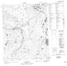
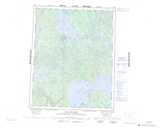
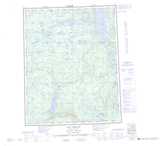
Maps showing Tunago Ridge, Mackenzie, Northwest Territories
Tunago Ridge is a Mountain located in Mackenzie, Northwest Territories and has an elevation of 291 meters.
- Latitude: 66° 15' 0'' North (decimal: 66.2501065)
- Longitude: 126° 15' 7'' West (decimal: -126.2519359)
- Topography Feature Category: Mountain
- Geographical Feature: Ridge
- Canadian Province/Territory: Northwest Territories
- Elevation: 291 meters
- Location: Mackenzie
- Atlas of Canada Locator Map: Tunago Ridge
- GPS Coordinate Locator Map: Tunago Ridge Lat/Long
Tunago Ridge NTS Map Sheets
096E16 Doctor Lake Topographic Map at 1:50,000 scale
096K05 Tunago Lake Topographic Map at 1:50,000 scale
096K12 No Title Topographic Map at 1:50,000 scale
096L01 No Title Topographic Map at 1:50,000 scale
096L08 No Title Topographic Map at 1:50,000 scale
096E Norman Wells Topographic Map at 1:250,000 scale
096K Lac Des Bois Topographic Map at 1:250,000 scale
096L Lac Belot Topographic Map at 1:250,000 scale