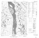
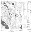
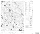
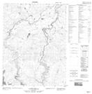
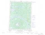
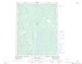
Maps showing Tutsieta Lake, Mackenzie, Northwest Territories
Tutsieta Lake is a Lake located in Mackenzie, Northwest Territories and has an elevation of 261 meters.
- Latitude: 67° 16' 0'' North (decimal: 67.2666894)
- Longitude: 130° 0' 8'' West (decimal: -130.0022258)
- Topography Feature Category: Lake
- Geographical Feature: Lake
- Canadian Province/Territory: Northwest Territories
- Elevation: 261 meters
- Location: Mackenzie
- Atlas of Canada Locator Map: Tutsieta Lake
- GPS Coordinate Locator Map: Tutsieta Lake Lat/Long
Tutsieta Lake NTS Map Sheets