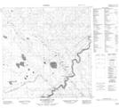
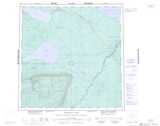
Maps showing Twin Falls Creek, Franklin, Northwest Territories
Twin Falls Creek is a River located in Franklin, Northwest Territories.
- Latitude: 60° 31' 0'' North (decimal: 60.5167828)
- Longitude: 116° 12' 5'' West (decimal: -116.2013716)
- Topography Feature Category: River
- Geographical Feature: Creek
- Canadian Province/Territory: Northwest Territories
- Location: Franklin
- Atlas of Canada Locator Map: Twin Falls Creek
- GPS Coordinate Locator Map: Twin Falls Creek Lat/Long
Twin Falls Creek NTS Map Sheets