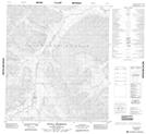
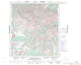
Maps showing Twitya Hotspring, Northwest Territories
Twitya Hotspring is a Spring located in Northwest Territories and has an elevation of 1143 meters.
- Latitude: 63° 48' 20'' North (decimal: 63.8054780)
- Longitude: 129° 52' 22'' West (decimal: -129.8727485)
- Topography Feature Category: Spring
- Geographical Feature: Hotspring / Hot Spring
- Canadian Province/Territory: Northwest Territories
- Elevation: 1143 meters
- Atlas of Canada Locator Map: Twitya Hotspring
- GPS Coordinate Locator Map: Twitya Hotspring Lat/Long
Twitya Hotspring NTS Map Sheets