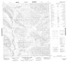
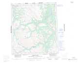
Maps showing Vanishing Ram Creek, Mackenzie, Northwest Territories
Vanishing Ram Creek is a River located in Mackenzie, Northwest Territories and has an elevation of 905 meters.
- Latitude: 63° 58' 00'' North (decimal: 63.9666415)
- Longitude: 127° 52' 7'' West (decimal: -127.8685233)
- Topography Feature Category: River
- Geographical Feature: Creek
- Canadian Province/Territory: Northwest Territories
- Elevation: 905 meters
- Location: Mackenzie
- Atlas of Canada Locator Map: Vanishing Ram Creek
- GPS Coordinate Locator Map: Vanishing Ram Creek Lat/Long
Vanishing Ram Creek NTS Map Sheets