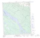
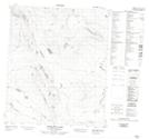
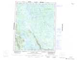
Maps showing Vermilion Creek, Mackenzie, Northwest Territories
Vermilion Creek is a River located in Mackenzie, Northwest Territories and has an elevation of 345 meters.
- Latitude: 65° 4' 50'' North (decimal: 65.0806518)
- Longitude: 126° 12' 7'' West (decimal: -126.2018115)
- Topography Feature Category: River
- Geographical Feature: Creek
- Canadian Province/Territory: Northwest Territories
- Elevation: 345 meters
- Location: Mackenzie
- Atlas of Canada Locator Map: Vermilion Creek
- GPS Coordinate Locator Map: Vermilion Creek Lat/Long
Vermilion Creek NTS Map Sheets