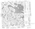
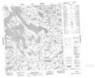
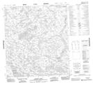
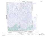
Maps showing Walmsley Lake, Mackenzie, Northwest Territories
Walmsley Lake is a Lake located in Mackenzie, Northwest Territories and has an elevation of 384 meters.
- Latitude: 63° 25' 1'' North (decimal: 63.4169284)
- Longitude: 108° 32' 3'' West (decimal: -108.5342785)
- Topography Feature Category: Lake
- Geographical Feature: Lake
- Canadian Province/Territory: Northwest Territories
- Elevation: 384 meters
- Location: Mackenzie
- Atlas of Canada Locator Map: Walmsley Lake
- GPS Coordinate Locator Map: Walmsley Lake Lat/Long
Walmsley Lake NTS Map Sheets