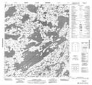
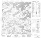
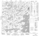
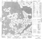
Maps showing Warburton Bay, Mackenzie, Northwest Territories
Warburton Bay is a Bay located in Mackenzie, Northwest Territories and has an elevation of 413 meters.
- Latitude: 63° 50' 1'' North (decimal: 63.8335917)
- Longitude: 111° 30' 4'' West (decimal: -111.5011590)
- Topography Feature Category: Bay
- Geographical Feature: Bay
- Canadian Province/Territory: Northwest Territories
- Elevation: 413 meters
- Location: Mackenzie
- Atlas of Canada Locator Map: Warburton Bay
- GPS Coordinate Locator Map: Warburton Bay Lat/Long
Warburton Bay NTS Map Sheets