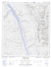
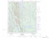
Maps showing White Sand Creek, Mackenzie, Northwest Territories
White Sand Creek is a River located in Mackenzie, Northwest Territories.
- Latitude: 63° 32' 0'' North (decimal: 63.5334278)
- Longitude: 123° 44' 21'' West (decimal: -123.7391862)
- Topography Feature Category: River
- Geographical Feature: Creek
- Canadian Province/Territory: Northwest Territories
- Location: Mackenzie
- Atlas of Canada Locator Map: White Sand Creek
- GPS Coordinate Locator Map: White Sand Creek Lat/Long
White Sand Creek NTS Map Sheets