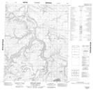
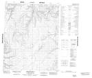
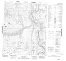
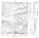
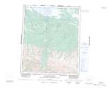
Maps showing Yellow Hills, Mackenzie, Northwest Territories
Yellow Hills is a Mountain located in Mackenzie, Northwest Territories and has an elevation of 360 meters.
- Latitude: 65° 38' 00'' North (decimal: 65.6333046)
- Longitude: 130° 50' 7'' West (decimal: -130.8353795)
- Topography Feature Category: Mountain
- Geographical Feature: Hills
- Canadian Province/Territory: Northwest Territories
- Elevation: 360 meters
- Location: Mackenzie
- Atlas of Canada Locator Map: Yellow Hills
- GPS Coordinate Locator Map: Yellow Hills Lat/Long
Yellow Hills NTS Map Sheets