Canada Topographic Maps

Zebulon River Topo Maps

Topography maps and Latitude/Longitude Location

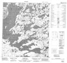
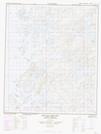
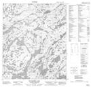
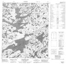
Maps showing Zebulon River, Mackenzie, Northwest Territories

Zebulon River is a River located in Mackenzie, Northwest Territories.

  • Latitude: 64° 58' 1'' North   (decimal: 64.9669095)
  • Longitude: 118° 17' 6'' West   (decimal: -118.2849229)
  • Topography Feature Category: River
  • Geographical Feature: River
  • Canadian Province/Territory: Northwest Territories
  • Location: Mackenzie
  • Atlas of Canada Locator Map: Zebulon River
  • GPS Coordinate Locator Map: Zebulon River Lat/Long

Zebulon River NTS Map Sheets

086D16 Stairs Bay Topographic Map at 1:50,000 scale

086E01 Hottah Lake East Topographic Map at 1:50,000 scale

086F03 Ellington Lake Topographic Map at 1:50,000 scale

086F04 Longtom Lake Topographic Map at 1:50,000 scale

086D Riviere Grandin Topographic Map at 1:250,000 scale

086E Leith Peninsula Topographic Map at 1:250,000 scale

086F Calder River Topographic Map at 1:250,000 scale

 
Buy Topographic Maps DVD
Newsletter Sign-up

Yes, I want to receive map store discounts.


Bookmark and Share