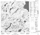
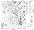
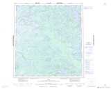
Maps showing Mosquito Creek, Northwest Territories
Mosquito Creek is a River located in Northwest Territories.
- Latitude: 62° 41' 46'' North (decimal: 62.6960322)
- Longitude: 116° 5' 15'' West (decimal: -116.0874584)
- Topography Feature Category: River
- Geographical Feature: Creek
- Canadian Province/Territory: Northwest Territories
- Atlas of Canada Locator Map: Mosquito Creek
- GPS Coordinate Locator Map: Mosquito Creek Lat/Long
Mosquito Creek NTS Map Sheets