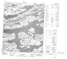
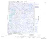
Maps showing Max Ward Lake, Northwest Territories
Max Ward Lake is a Lake located in Northwest Territories.
- Latitude: 65° 28' 41'' North (decimal: 65.4780789)
- Longitude: 113° 42' 45'' West (decimal: -113.7124604)
- Topography Feature Category: Lake
- Geographical Feature: Lake
- Canadian Province/Territory: Northwest Territories
- Atlas of Canada Locator Map: Max Ward Lake
- GPS Coordinate Locator Map: Max Ward Lake Lat/Long
Max Ward Lake NTS Map Sheets