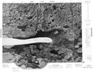
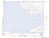
Maps showing Niriunak, Northwest Territories
Niriunak is a Lake located in Northwest Territories.
- Latitude: 70° 39' 16'' North (decimal: 70.6543418)
- Longitude: 116° 25' 16'' West (decimal: -116.4210848)
- Topography Feature Category: Lake
- Geographical Feature: Lake
- Canadian Province/Territory: Northwest Territories
- Atlas of Canada Locator Map: Niriunak
- GPS Coordinate Locator Map: Niriunak Lat/Long
Niriunak NTS Map Sheets