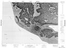
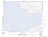
Maps showing Uyarahugyulik, Northwest Territories
Uyarahugyulik is a Lake located in Northwest Territories.
- Latitude: 70° 39' 19'' North (decimal: 70.6551708)
- Longitude: 117° 2' 48'' West (decimal: -117.0466908)
- Topography Feature Category: Lake
- Geographical Feature: Lake
- Canadian Province/Territory: Northwest Territories
- Atlas of Canada Locator Map: Uyarahugyulik
- GPS Coordinate Locator Map: Uyarahugyulik Lat/Long
Uyarahugyulik NTS Map Sheets