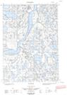
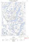
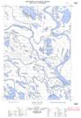
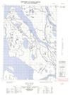
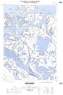
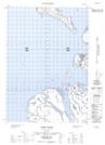
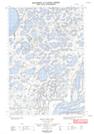
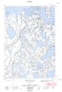
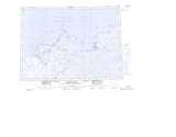
Canada Topographic Maps

Refuge d'oiseaux de l'Īle-Kendall Topo Maps

Topography maps and Latitude/Longitude Location

Maps showing Refuge d'oiseaux de l'Īle-Kendall, Northwest Territories

Refuge d'oiseaux de l'Īle-Kendall is a Conservation area located in Northwest Territories.

  • Latitude: 69° 22' 48'' North   (decimal: 69.38)
  • Longitude: 135° 10' 48'' West   (decimal: -135.18)
  • Topography Feature Category: Conservation area
  • Geographical Feature: Refuge d'oiseaux migrateurs
  • Canadian Province/Territory: Northwest Territories
  • Atlas of Canada Locator Map: Refuge d'oiseaux de l'Īle-Kendall
  • GPS Coordinate Locator Map: Refuge d'oiseaux de l'Īle-Kendall Lat/Long

Refuge d'oiseaux de l'Īle-Kendall NTS Map Sheets

107C03E Tununuk Topographic Map at 1:50,000 scale

107C03W Tununuk Topographic Map at 1:50,000 scale

107C04E Ellice Island Topographic Map at 1:50,000 scale

107C04W Ellice Island Topographic Map at 1:50,000 scale

107C05E Garry Island Topographic Map at 1:50,000 scale

107C05W Garry Island Topographic Map at 1:50,000 scale

107C06E Denis High Hill Topographic Map at 1:50,000 scale

107C06W Denis High Hill Topographic Map at 1:50,000 scale

107C Mackenzie Delta Topographic Map at 1:250,000 scale

 
Buy Topographic Maps DVD
Newsletter Sign-up

Yes, I want to receive map store discounts.


Bookmark and Share