Maps showing Malijuaq Island, Nunavut
Malijuaq Island is a Island located in Nunavut.
- Latitude: 58° 31' 56'' North (decimal: 58.5322000)
- Longitude: 67° 52' 18'' West (decimal: -67.8716999)
- Topography Feature Category: Island
- Geographical Feature: Island
- Canadian Province/Territory: Nunavut
- Atlas of Canada Locator Map: Malijuaq Island
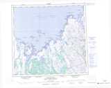
- GPS Coordinate Locator Map: Malijuaq Island Lat/Long