Maps showing Akimiski Island, Nunavut
Akimiski Island is a Island located in Nunavut.
- Latitude: 53° 0' 30'' North (decimal: 53.0082999)
- Longitude: 81° 16' 30'' West (decimal: -81.2750000)
- Topography Feature Category: Island
- Geographical Feature: Island
- Canadian Province/Territory: Nunavut
- Atlas of Canada Locator Map: Akimiski Island
- GPS Coordinate Locator Map: Akimiski Island Lat/Long
Akimiski Island NTS Map Sheets
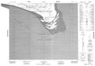
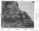
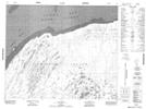
043A10 Cape Duncan Topographic Map at 1:50,000 scale
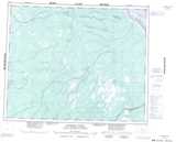
043A13 No Title Topographic Map at 1:50,000 scale
043A14 No Title Topographic Map at 1:50,000 scale
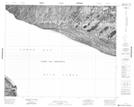
043A15 Albert Shoal Topographic Map at 1:50,000 scale
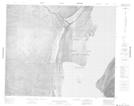
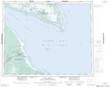
043B16 Attawapiskat Topographic Map at 1:50,000 scale
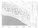
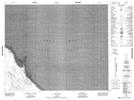
043G01 No Title Topographic Map at 1:50,000 scale
043H02 No Title Topographic Map at 1:50,000 scale
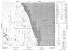
043H03 Houston Point Topographic Map at 1:50,000 scale
043H04 No Title Topographic Map at 1:50,000 scale
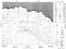
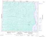
043A Fort Albany Topographic Map at 1:250,000 scale
043B Kapiskau River Topographic Map at 1:250,000 scale
043G Ekwan River Topographic Map at 1:250,000 scale
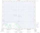
043H Akimiski Island North Topographic Map at 1:250,000 scale