Canada Topographic Maps

Albert Edward Bay Topo Maps

Topography maps and Latitude/Longitude Location

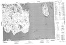
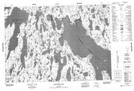
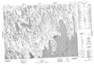
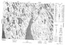
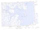
Maps showing Albert Edward Bay, Nunavut

Albert Edward Bay is a Bay located in Nunavut.

  • Latitude: 69° 32' North   (decimal: 69.5333000)
  • Longitude: 102° 25' West   (decimal: -102.4166999)
  • Topography Feature Category: Bay
  • Geographical Feature: Bay
  • Canadian Province/Territory: Nunavut
  • Atlas of Canada Locator Map: Albert Edward Bay
  • GPS Coordinate Locator Map: Albert Edward Bay Lat/Long

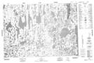
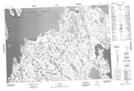
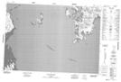
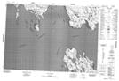
Albert Edward Bay NTS Map Sheets

067C05 No Title Topographic Map at 1:50,000 scale

067C06 No Title Topographic Map at 1:50,000 scale

067C07 Cape Adelaide Topographic Map at 1:50,000 scale

067C10 Cape Alfred Topographic Map at 1:50,000 scale

067C11 No Title Topographic Map at 1:50,000 scale

067C12 Nakashook Lake Topographic Map at 1:50,000 scale

067C14 No Title Topographic Map at 1:50,000 scale

067C15 No Title Topographic Map at 1:50,000 scale

067C Admiralty Island Topographic Map at 1:250,000 scale

 
Buy Topographic Maps DVD
Newsletter Sign-up

Yes, I want to receive map store discounts.


Bookmark and Share