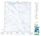
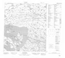
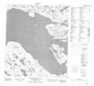
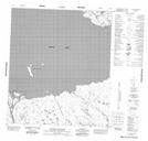
Maps showing Baker Lake, Nunavut
Baker Lake is a Lake located in Nunavut and has an elevation of 10 meters.
- Latitude: 64° 10' North (decimal: 64.1666999)
- Longitude: 95° 30' West (decimal: -95.4999999)
- Topography Feature Category: Lake
- Geographical Feature: Lake
- Canadian Province/Territory: Nunavut
- Elevation: 10 meters
- Atlas of Canada Locator Map: Baker Lake
- GPS Coordinate Locator Map: Baker Lake Lat/Long
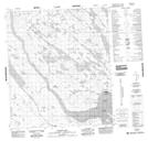
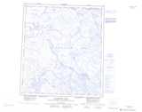
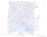
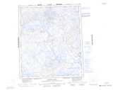
Baker Lake NTS Map Sheets
055M16 Cone Hill Topographic Map at 1:50,000 scale
056D01 Rio Island Topographic Map at 1:50,000 scale
056D02 Christopher Island Topographic Map at 1:50,000 scale
056D03 Tanataluk Islands Topographic Map at 1:50,000 scale
056D04 Big Hips Island Topographic Map at 1:50,000 scale
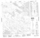
056D05 Akilahaarjuk Mountain Topographic Map at 1:50,000 scale
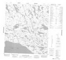
056D06 Evitarulik Lake Topographic Map at 1:50,000 scale
066A01 Sagliq Island Topographic Map at 1:50,000 scale
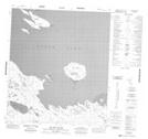
066A08 Baker Lake Topographic Map at 1:50,000 scale
055M Macquoid Lake Topographic Map at 1:250,000 scale
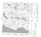
056D Baker Lake Topographic Map at 1:250,000 scale
066A Schultz Lake Topographic Map at 1:250,000 scale