Canada Topographic Maps

Bell Peninsula Topo Maps

Topography maps and Latitude/Longitude Location

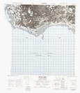
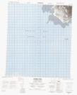
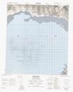
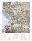
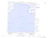
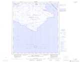
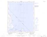
Maps showing Bell Peninsula, Nunavut

Bell Peninsula is a Cape located in Nunavut.

  • Latitude: 63° 46' 30'' North   (decimal: 63.7750000)
  • Longitude: 81° 21' 00'' West   (decimal: -81.3499999)
  • Topography Feature Category: Cape
  • Geographical Feature: Peninsula
  • Canadian Province/Territory: Nunavut
  • Atlas of Canada Locator Map: Bell Peninsula
  • GPS Coordinate Locator Map: Bell Peninsula Lat/Long

Bell Peninsula NTS Map Sheets

045O09 Native Point Topographic Map at 1:50,000 scale

045O14 Prairie Point Topographic Map at 1:50,000 scale

045O15 Native Bay Topographic Map at 1:50,000 scale

045O16 No Title Topographic Map at 1:50,000 scale

045O Native Bay Topographic Map at 1:250,000 scale

045P Bell Peninsula Topographic Map at 1:250,000 scale

046A Caribou Island Topographic Map at 1:250,000 scale

 
Buy Topographic Maps DVD
Newsletter Sign-up

Yes, I want to receive map store discounts.


Bookmark and Share