Maps showing Bullen River, Nunavut
Bullen River is a River located in Nunavut and has an elevation of 178 meters.
- Latitude: 65° 51' North (decimal: 65.8499999)
- Longitude: 102° 3' West (decimal: -102.0500000)
- Topography Feature Category: River
- Geographical Feature: River
- Canadian Province/Territory: Nunavut
- Elevation: 178 meters
- Atlas of Canada Locator Map: Bullen River
- GPS Coordinate Locator Map: Bullen River Lat/Long
Bullen River NTS Map Sheets
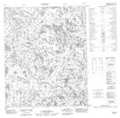
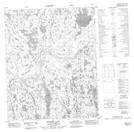
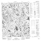
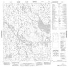
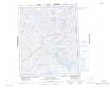
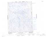
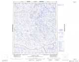
066E13 No Title Topographic Map at 1:50,000 scale
066E14 No Title Topographic Map at 1:50,000 scale
066E15 Croome Lake Topographic Map at 1:50,000 scale
066E16 No Title Topographic Map at 1:50,000 scale
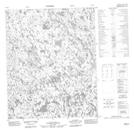
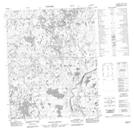
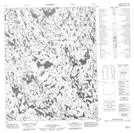
066L03 No Title Topographic Map at 1:50,000 scale
066L04 No Title Topographic Map at 1:50,000 scale
076H10 No Title Topographic Map at 1:50,000 scale
076H15 No Title Topographic Map at 1:50,000 scale
076H16 No Title Topographic Map at 1:50,000 scale
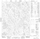
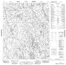
066E Jervoise River Topographic Map at 1:250,000 scale
066L Macalpine Lake Topographic Map at 1:250,000 scale
076H Duggan Lake Topographic Map at 1:250,000 scale