Maps showing Burnside River, Nunavut
Burnside River is a River located in Nunavut and has an elevation of 109 meters.
- Latitude: 66° 51' North (decimal: 66.8500000)
- Longitude: 108° 4' West (decimal: -108.0666999)
- Topography Feature Category: River
- Geographical Feature: River
- Canadian Province/Territory: Nunavut
- Elevation: 109 meters
- Atlas of Canada Locator Map: Burnside River
- GPS Coordinate Locator Map: Burnside River Lat/Long
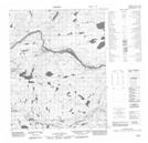
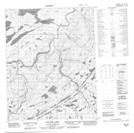
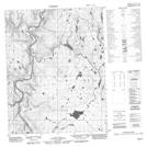
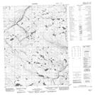
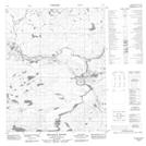
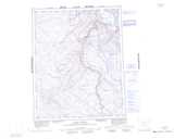
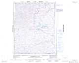
Burnside River NTS Map Sheets
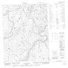
076K05 No Title Topographic Map at 1:50,000 scale
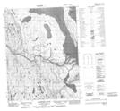
076K06 Kuuvik Lake Topographic Map at 1:50,000 scale
076K10 No Title Topographic Map at 1:50,000 scale
076K11 No Title Topographic Map at 1:50,000 scale
076K15 No Title Topographic Map at 1:50,000 scale
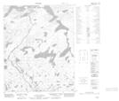
076K16 Bathurst Inlet Topographic Map at 1:50,000 scale
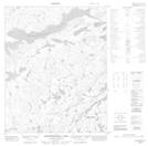
076L01 No Title Topographic Map at 1:50,000 scale
076L02 Kathawachaga Lake Topographic Map at 1:50,000 scale
076L08 Bellanca Rapids Topographic Map at 1:50,000 scale
076K Mara River Topographic Map at 1:250,000 scale
076L Kathawachaga Lake Topographic Map at 1:250,000 scale