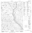
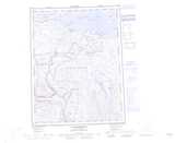
Maps showing Burnt Creek, Nunavut
Burnt Creek is a River located in Nunavut.
- Latitude: 67° 19' 55'' North (decimal: 67.3319000)
- Longitude: 115° 42' 20'' West (decimal: -115.7055999)
- Topography Feature Category: River
- Geographical Feature: Creek
- Canadian Province/Territory: Nunavut
- Atlas of Canada Locator Map: Burnt Creek
- GPS Coordinate Locator Map: Burnt Creek Lat/Long
Burnt Creek NTS Map Sheets