Canada Topographic Maps

Cumberland Gulf Topo Maps

Topography maps and Latitude/Longitude Location

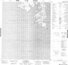
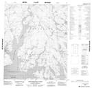
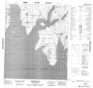
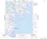
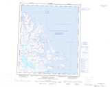
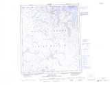
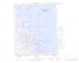
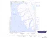
Maps showing Cumberland Gulf, Nunavut

Cumberland Gulf is a Channel located in Nunavut.

  • Latitude: 65° 10' North   (decimal: 65.1667000)
  • Longitude: 65° 30' West   (decimal: -65.5000000)
  • Topography Feature Category: Channel
  • Geographical Feature: Sound
  • Canadian Province/Territory: Nunavut
  • GPS Coordinate Locator Map: Cumberland Gulf Lat/Long

Cumberland Gulf NTS Map Sheets

016D13 Cape Mercy Topographic Map at 1:50,000 scale

016E04 Aktijartukan Fiord Topographic Map at 1:50,000 scale

026H01 Abraham Bay Topographic Map at 1:50,000 scale

016E Hoare Bay Topographic Map at 1:250,000 scale

026A Leybourne Islands Topographic Map at 1:250,000 scale

026B Chidliak Bay Topographic Map at 1:250,000 scale

026G Irvine Inlet Topographic Map at 1:250,000 scale

026H Abraham Bay Topographic Map at 1:250,000 scale

016D Map Not Available Topographic Map at 1:250,000 scale

 
Buy Topographic Maps DVD
Newsletter Sign-up

Yes, I want to receive map store discounts.


Bookmark and Share