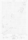
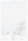
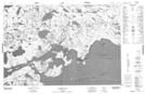
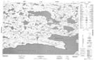
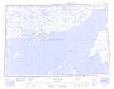
Maps showing Edinburgh Island, Nunavut
Edinburgh Island is a Island located in Nunavut.
- Latitude: 68° 31' North (decimal: 68.5166999)
- Longitude: 110° 51' West (decimal: -110.8499999)
- Topography Feature Category: Island
- Geographical Feature: Island
- Canadian Province/Territory: Nunavut
- Atlas of Canada Locator Map: Edinburgh Island
- GPS Coordinate Locator Map: Edinburgh Island Lat/Long
Edinburgh Island NTS Map Sheets
077B05E Bate Islands Topographic Map at 1:50,000 scale
077B05W Bate Islands Topographic Map at 1:50,000 scale
077B06W No Title Topographic Map at 1:50,000 scale
077B11 Wilbank Bay Topographic Map at 1:50,000 scale
077B12 Johansen Bay Topographic Map at 1:50,000 scale
077B Richardson Islands Topographic Map at 1:250,000 scale
077B05W Bate Islands Topographic Map at 1:50,000 scale
077B06W No Title Topographic Map at 1:50,000 scale
077B11 Wilbank Bay Topographic Map at 1:50,000 scale
077B12 Johansen Bay Topographic Map at 1:50,000 scale
077B Richardson Islands Topographic Map at 1:250,000 scale