Canada Topographic Maps

Ellice Hills Topo Maps

Topography maps and Latitude/Longitude Location

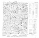
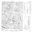
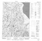
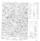
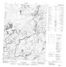
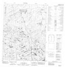
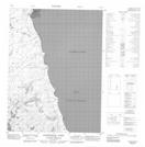
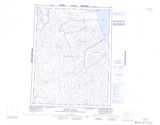
Maps showing Ellice Hills, Nunavut

Ellice Hills is a Mountain located in Nunavut and has an elevation of 397 meters.

  • Latitude: 67° 50' North   (decimal: 67.8333000)
  • Longitude: 88° 30' West   (decimal: -88.4999999)
  • Topography Feature Category: Mountain
  • Geographical Feature: Hills
  • Canadian Province/Territory: Nunavut
  • Elevation: 397 meters
  • Atlas of Canada Locator Map: Ellice Hills
  • GPS Coordinate Locator Map: Ellice Hills Lat/Long

Ellice Hills NTS Map Sheets

056P07 No Title Topographic Map at 1:50,000 scale

056P08 No Title Topographic Map at 1:50,000 scale

056P09 Cape Weynton Topographic Map at 1:50,000 scale

056P10 No Title Topographic Map at 1:50,000 scale

056P14 No Title Topographic Map at 1:50,000 scale

056P15 No Title Topographic Map at 1:50,000 scale

056P16 Ujarattaak Point Topographic Map at 1:50,000 scale

056P Ellice Hills Topographic Map at 1:250,000 scale

 
Buy Topographic Maps DVD
Newsletter Sign-up

Yes, I want to receive map store discounts.


Bookmark and Share