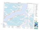
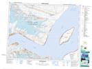
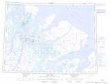
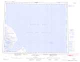
Maps showing Gibbs Fiord, Nunavut
Gibbs Fiord is a Bay located in Nunavut.
- Latitude: 70° 49' 15'' North (decimal: 70.8208000)
- Longitude: 71° 54' 50'' West (decimal: -71.9139000)
- Topography Feature Category: Bay
- Geographical Feature: Fiord
- Canadian Province/Territory: Nunavut
- Atlas of Canada Locator Map: Gibbs Fiord
- GPS Coordinate Locator Map: Gibbs Fiord Lat/Long
Gibbs Fiord NTS Map Sheets
027F13 Natsiaq Peak Topographic Map at 1:50,000 scale
027G04 Scott Island Topographic Map at 1:50,000 scale
027F Clyde Inlet Topographic Map at 1:250,000 scale
027G Scott Inlet Topographic Map at 1:250,000 scale
037E Conn Lake Topographic Map at 1:250,000 scale
037H Buchan Gulf Topographic Map at 1:250,000 scale
027G04 Scott Island Topographic Map at 1:50,000 scale
027F Clyde Inlet Topographic Map at 1:250,000 scale
027G Scott Inlet Topographic Map at 1:250,000 scale
037E Conn Lake Topographic Map at 1:250,000 scale
037H Buchan Gulf Topographic Map at 1:250,000 scale