Maps showing Hayes River, Nunavut
Hayes River is a River located in Nunavut and has an elevation of 9 meters.
- Latitude: 67° 8' North (decimal: 67.1333000)
- Longitude: 95° 17' West (decimal: -95.2833000)
- Topography Feature Category: River
- Geographical Feature: River
- Canadian Province/Territory: Nunavut
- Elevation: 9 meters
- Atlas of Canada Locator Map: Hayes River
- GPS Coordinate Locator Map: Hayes River Lat/Long
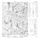
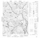
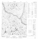
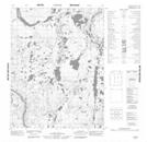
Hayes River NTS Map Sheets
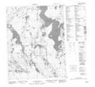
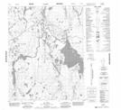
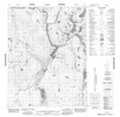
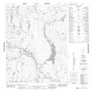
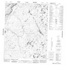
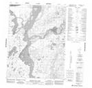
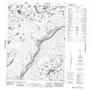
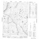
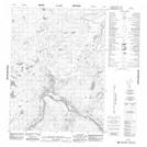
056J10 No Title Topographic Map at 1:50,000 scale
056J11 No Title Topographic Map at 1:50,000 scale
056J12 No Title Topographic Map at 1:50,000 scale
056J13 No Title Topographic Map at 1:50,000 scale
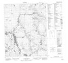
056K09 No Title Topographic Map at 1:50,000 scale
056K15 No Title Topographic Map at 1:50,000 scale
056K16 No Title Topographic Map at 1:50,000 scale
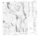
056M02 No Title Topographic Map at 1:50,000 scale
056M03 Madam Daly Lake Topographic Map at 1:50,000 scale
056M07 No Title Topographic Map at 1:50,000 scale
056M08 No Title Topographic Map at 1:50,000 scale
056M09 No Title Topographic Map at 1:50,000 scale
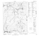
056N02 No Title Topographic Map at 1:50,000 scale
056N03 No Title Topographic Map at 1:50,000 scale
056N05 No Title Topographic Map at 1:50,000 scale
056N06 No Title Topographic Map at 1:50,000 scale
056N12 No Title Topographic Map at 1:50,000 scale
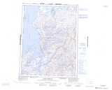
056J Walker Lake Topographic Map at 1:250,000 scale
056K Laughland Lake Topographic Map at 1:250,000 scale
056M Cape Barclay Topographic Map at 1:250,000 scale
056N Darby Lake Topographic Map at 1:250,000 scale