Maps showing Hood River, Nunavut
Hood River is a River located in Nunavut and has an elevation of 184 meters.
- Latitude: 67° 26' North (decimal: 67.4333000)
- Longitude: 108° 53' West (decimal: -108.8833000)
- Topography Feature Category: River
- Geographical Feature: River
- Canadian Province/Territory: Nunavut
- Elevation: 184 meters
- Atlas of Canada Locator Map: Hood River
- GPS Coordinate Locator Map: Hood River Lat/Long
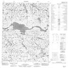
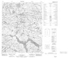
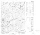
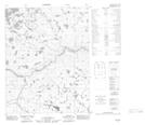
Hood River NTS Map Sheets
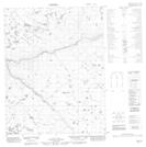
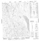
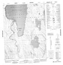
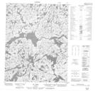
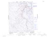
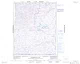
076K13 No Title Topographic Map at 1:50,000 scale
076K14 Sellwood River Topographic Map at 1:50,000 scale
076K15 No Title Topographic Map at 1:50,000 scale
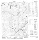
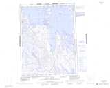
076L11 No Title Topographic Map at 1:50,000 scale
076L12 No Title Topographic Map at 1:50,000 scale
076L14 No Title Topographic Map at 1:50,000 scale
076L15 No Title Topographic Map at 1:50,000 scale
076L16 No Title Topographic Map at 1:50,000 scale
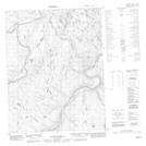
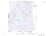
076N02 Wilberforce Falls Topographic Map at 1:50,000 scale
076N07 Baillie Bay Topographic Map at 1:50,000 scale
086I09 No Title Topographic Map at 1:50,000 scale
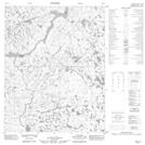
076K Mara River Topographic Map at 1:250,000 scale
076L Kathawachaga Lake Topographic Map at 1:250,000 scale
076N Arctic Sound Topographic Map at 1:250,000 scale
086I Napaktulik Lake Topographic Map at 1:250,000 scale