Maps showing Jones Sound, Nunavut
Jones Sound is a Channel located in Nunavut.
- Latitude: 76° 00' North (decimal: 75.9999999)
- Longitude: 86° 0' West (decimal: -86.0000000)
- Topography Feature Category: Channel
- Geographical Feature: Sound
- Canadian Province/Territory: Nunavut
- Atlas of Canada Locator Map: Jones Sound
- GPS Coordinate Locator Map: Jones Sound Lat/Long
Jones Sound NTS Map Sheets
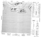
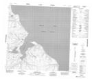
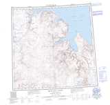
049A05 Skerries Topographic Map at 1:50,000 scale
049A06 Grise Fiord Topographic Map at 1:50,000 scale
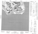
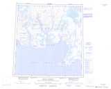
058H07 Haughton Dome Topographic Map at 1:50,000 scale
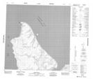
058H08 No Title Topographic Map at 1:50,000 scale
058H09 Skruis Point Topographic Map at 1:50,000 scale
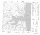
058H10 No Title Topographic Map at 1:50,000 scale
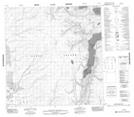
058H13 No Title Topographic Map at 1:50,000 scale
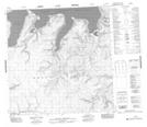
058H14 No Title Topographic Map at 1:50,000 scale
058H15 Sandhook Bay Topographic Map at 1:50,000 scale
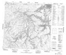
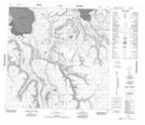
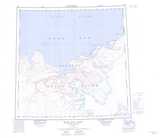
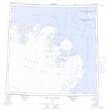
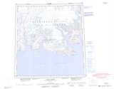
048G Bear Bay East Topographic Map at 1:250,000 scale
048H Lady Ann Strait Topographic Map at 1:250,000 scale
049A Craig Harbour Topographic Map at 1:250,000 scale
049B Baad Fiord Topographic Map at 1:250,000 scale
058H Bear Bay West Topographic Map at 1:250,000 scale