Canada Topographic Maps

Josephine River Topo Maps

Topography maps and Latitude/Longitude Location

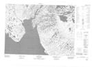
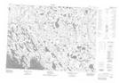
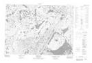
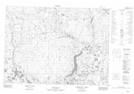
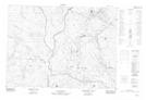
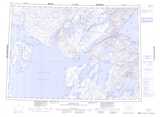
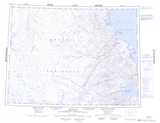
Maps showing Josephine River, Nunavut

Josephine River is a River located in Nunavut and has an elevation of 147 meters.

  • Latitude: 69° 39' 30'' North   (decimal: 69.6582999)
  • Longitude: 94° 45' 30'' West   (decimal: -94.7582999)
  • Topography Feature Category: River
  • Geographical Feature: River
  • Canadian Province/Territory: Nunavut
  • Elevation: 147 meters
  • Atlas of Canada Locator Map: Josephine River
  • GPS Coordinate Locator Map: Josephine River Lat/Long

Josephine River NTS Map Sheets

057C11 Artists Bay Topographic Map at 1:50,000 scale

057C13 Oscar Bay Topographic Map at 1:50,000 scale

057C14 Garry Falls Topographic Map at 1:50,000 scale

057F03 No Title Topographic Map at 1:50,000 scale

057F06 No Title Topographic Map at 1:50,000 scale

057C Spence Bay Topographic Map at 1:250,000 scale

057F Thom Bay Topographic Map at 1:250,000 scale

 
Buy Topographic Maps DVD
Newsletter Sign-up

Yes, I want to receive map store discounts.


Bookmark and Share