Maps showing Kunwak River, Nunavut
Kunwak River is a River located in Nunavut and has an elevation of 106 meters.
- Latitude: 63° 40' North (decimal: 63.6666999)
- Longitude: 97° 3' West (decimal: -97.0500000)
- Topography Feature Category: River
- Geographical Feature: River
- Canadian Province/Territory: Nunavut
- Elevation: 106 meters
- Atlas of Canada Locator Map: Kunwak River
- GPS Coordinate Locator Map: Kunwak River Lat/Long
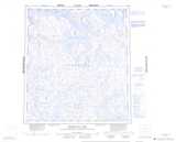
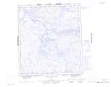
Kunwak River NTS Map Sheets
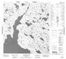
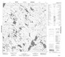
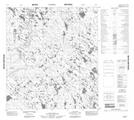
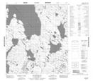
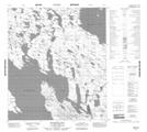
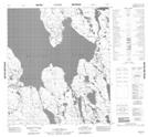
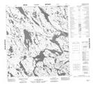
065O03 Pamiutuq Lake Topographic Map at 1:50,000 scale
065O06 No Title Topographic Map at 1:50,000 scale
065O07 No Title Topographic Map at 1:50,000 scale
065O10 Akuttuaq Bay Topographic Map at 1:50,000 scale
065O15 Maniituq Hill Topographic Map at 1:50,000 scale
065O16 No Title Topographic Map at 1:50,000 scale
065P11 No Title Topographic Map at 1:50,000 scale
065P14 Kunwak River Topographic Map at 1:50,000 scale
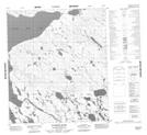
065O Tebesjuak Lake Topographic Map at 1:250,000 scale
065P Thirty Mile Lake Topographic Map at 1:250,000 scale