Maps showing Lorillard River, Nunavut
Lorillard River is a River located in Nunavut and has an elevation of 11 meters.
- Latitude: 64° 8' North (decimal: 64.1333000)
- Longitude: 90° 6' West (decimal: -90.0999999)
- Topography Feature Category: River
- Geographical Feature: River
- Canadian Province/Territory: Nunavut
- Elevation: 11 meters
- Atlas of Canada Locator Map: Lorillard River
- GPS Coordinate Locator Map: Lorillard River Lat/Long
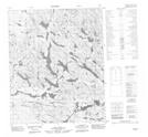
Lorillard River NTS Map Sheets
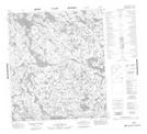
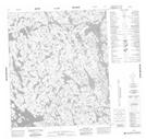
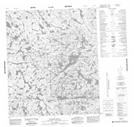
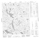
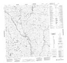
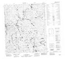
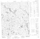
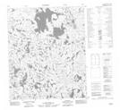
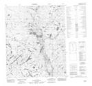
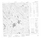
056B01 No Title Topographic Map at 1:50,000 scale
056B07 No Title Topographic Map at 1:50,000 scale
056B08 No Title Topographic Map at 1:50,000 scale
056B09 No Title Topographic Map at 1:50,000 scale
056B10 Hazard Hills Topographic Map at 1:50,000 scale
056B15 No Title Topographic Map at 1:50,000 scale
056B16 No Title Topographic Map at 1:50,000 scale
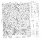
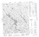
056G01 No Title Topographic Map at 1:50,000 scale
056G02 No Title Topographic Map at 1:50,000 scale
056G03 No Title Topographic Map at 1:50,000 scale
056G06 No Title Topographic Map at 1:50,000 scale
056G10 No Title Topographic Map at 1:50,000 scale
056G11 No Title Topographic Map at 1:50,000 scale
056B Armit Lake Topographic Map at 1:250,000 scale
056G Wager Bay Topographic Map at 1:250,000 scale