Maps showing Nastapoka Islands, Nunavut
Nastapoka Islands is a Island located in Nunavut and has an elevation of 0 meters.
- Latitude: 56° 55' North (decimal: 56.9167000)
- Longitude: 76° 50' West (decimal: -76.8332999)
- Topography Feature Category: Island
- Geographical Feature: Islands
- Canadian Province/Territory: Nunavut
- Elevation: 0 meters
- Atlas of Canada Locator Map: Nastapoka Islands
- GPS Coordinate Locator Map: Nastapoka Islands Lat/Long
Nastapoka Islands NTS Map Sheets
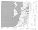
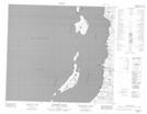
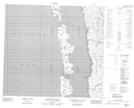
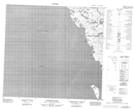
034C02 Belanger Island Topographic Map at 1:50,000 scale
034C07 Anderson Island Topographic Map at 1:50,000 scale
034C10 Umiujaq Topographic Map at 1:50,000 scale
034C15 Gordon Island Topographic Map at 1:50,000 scale
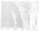
034F02 Davieau Island Topographic Map at 1:50,000 scale
034F07 Pointe Pamialluk Topographic Map at 1:50,000 scale
034F10 Mctavish Island Topographic Map at 1:50,000 scale
034F14 Cotter Island Topographic Map at 1:50,000 scale
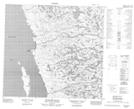
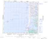
034C Lac Guillaume-Delisle Topographic Map at 1:250,000 scale
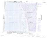
034F Broughton Island Topographic Map at 1:250,000 scale