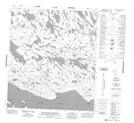
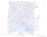
Maps showing Nuvutuak Point, Nunavut
Nuvutuak Point is a Cape located in Nunavut.
- Latitude: 64° 16' 40'' North (decimal: 64.2777999)
- Longitude: 95° 43' 20'' West (decimal: -95.7221999)
- Topography Feature Category: Cape
- Geographical Feature: Point
- Canadian Province/Territory: Nunavut
- GPS Coordinate Locator Map: Nuvutuak Point Lat/Long
Nuvutuak Point NTS Map Sheets