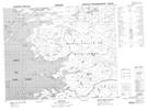
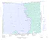
Maps showing Paint Hills Islands, Nunavut
Paint Hills Islands is a Island located in Nunavut.
- Latitude: 52° 57' North (decimal: 52.9500000)
- Longitude: 79° 1' West (decimal: -79.0167000)
- Topography Feature Category: Island
- Geographical Feature: Islands
- Canadian Province/Territory: Nunavut
- Atlas of Canada Locator Map: Paint Hills Islands
- GPS Coordinate Locator Map: Paint Hills Islands Lat/Long