Maps showing Perry River, Nunavut
Perry River is a River located in Nunavut and has an elevation of 13 meters.
- Latitude: 67° 43' North (decimal: 67.7167000)
- Longitude: 102° 14' West (decimal: -102.2333000)
- Topography Feature Category: River
- Geographical Feature: River
- Canadian Province/Territory: Nunavut
- Elevation: 13 meters
- Atlas of Canada Locator Map: Perry River
- GPS Coordinate Locator Map: Perry River Lat/Long
Perry River NTS Map Sheets
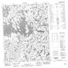
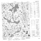
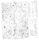
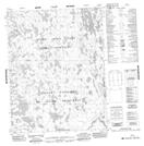
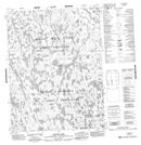
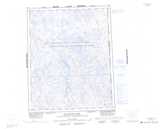
066L08 No Title Topographic Map at 1:50,000 scale
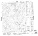
066L09 No Title Topographic Map at 1:50,000 scale
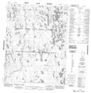
066L16 No Title Topographic Map at 1:50,000 scale
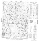
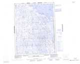
066M01 No Title Topographic Map at 1:50,000 scale
066M08 Arlone Lake Topographic Map at 1:50,000 scale
066M09 Lee Island Topographic Map at 1:50,000 scale
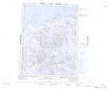
066N04 No Title Topographic Map at 1:50,000 scale
066N05 Marsh Rapids Topographic Map at 1:50,000 scale
066L Macalpine Lake Topographic Map at 1:250,000 scale
066M Perry River Topographic Map at 1:250,000 scale
066N Ogden Bay Topographic Map at 1:250,000 scale