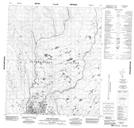
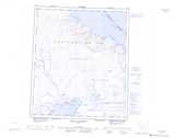
Maps showing The Shoulder, Nunavut
The Shoulder is a Mountain located in Nunavut.
- Latitude: 64° 25' 45'' North (decimal: 64.4292000)
- Longitude: 82° 55' 0'' West (decimal: -82.9166999)
- Topography Feature Category: Mountain
- Geographical Feature: Hill
- Canadian Province/Territory: Nunavut
- Atlas of Canada Locator Map: The Shoulder
- GPS Coordinate Locator Map: The Shoulder Lat/Long
The Shoulder NTS Map Sheets