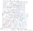
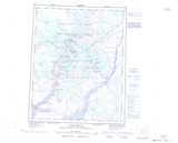
Maps showing Mount Sif, Nunavut
Mount Sif is a Mountain located in Nunavut and has an elevation of 1276 meters.
- Latitude: 66° 30' 30'' North (decimal: 66.5083000)
- Longitude: 65° 20' 20'' West (decimal: -65.3389000)
- Topography Feature Category: Mountain
- Geographical Feature: Mount
- Canadian Province/Territory: Nunavut
- Elevation: 1276 meters
- Atlas of Canada Locator Map: Mount Sif
- GPS Coordinate Locator Map: Mount Sif Lat/Long
Mount Sif NTS Map Sheets